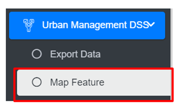
18.2 Map Feature
This is the main graphical web interface of IMIS where spatial visualization of data layers and other spatially assisted decision-making processes will be performed.
· Open the sidebar and click on the Urban Management DSS to expand.
· Select the Map Feature.
· This redirects to the main section of Map Interface (refer to Figure 18-2).
- The map has four main sections: General Tools, Map, Layers Tab, and Tools Tab.
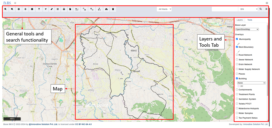
Figure 18- 2 Map
No Comments