4.1 Sewer Map
The map interface will be displayed once ‘Sewer Map’ is selected, where the user can collect sewer information.
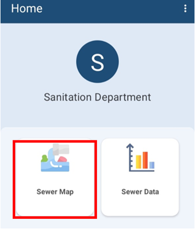
Figure 4-1 Dashboard (Sewer Map)
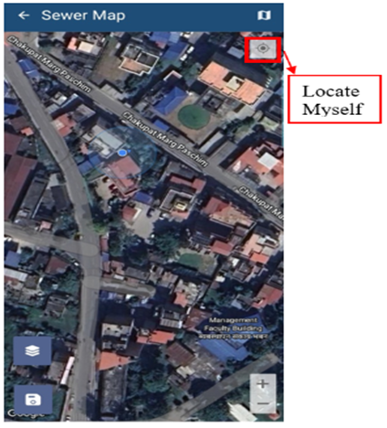
Figure 4-2 Map Interface
Tools:
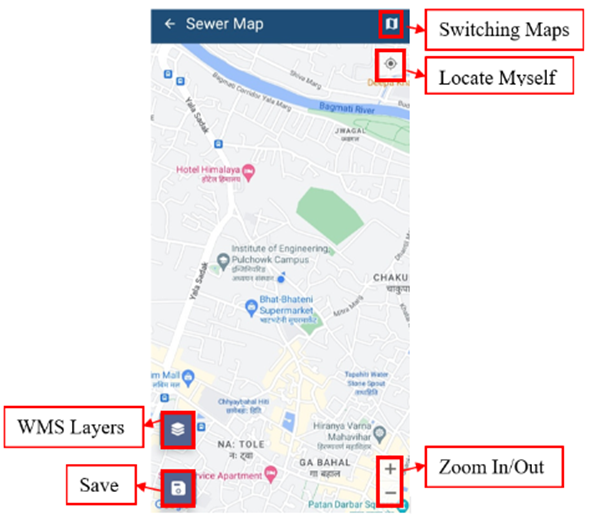
Figure 4-3 Sewer Map
· Clear Map: Tap to remove the added marker.
· Switching Maps: Tap to toggle among various Google base maps e.g., Street and Satellite.
· Locate Myself: Tap to locate the current position of the user.
· Zoom In/Out: Tap to zoom in and out of the map.
· WMS Layers: Tap to get WMS Layers of the map. The WMS Layers is a dynamic tool that draws an overlay on the Map. It can display the different layers of data such as Building Data, Road Data, Ward data and Sewer Data. This functionality allows the user to view digitized data stored in the database. When the user taps on the ‘WMS Layers’, a pop-up appears prompting them to select the desired layers. Once selected, the corresponding data layers are highlighted on the map.
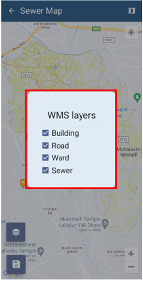
Figure 4-4 WMS Layer Toggle
Save: Tap the ‘save’ icon to store the added information.